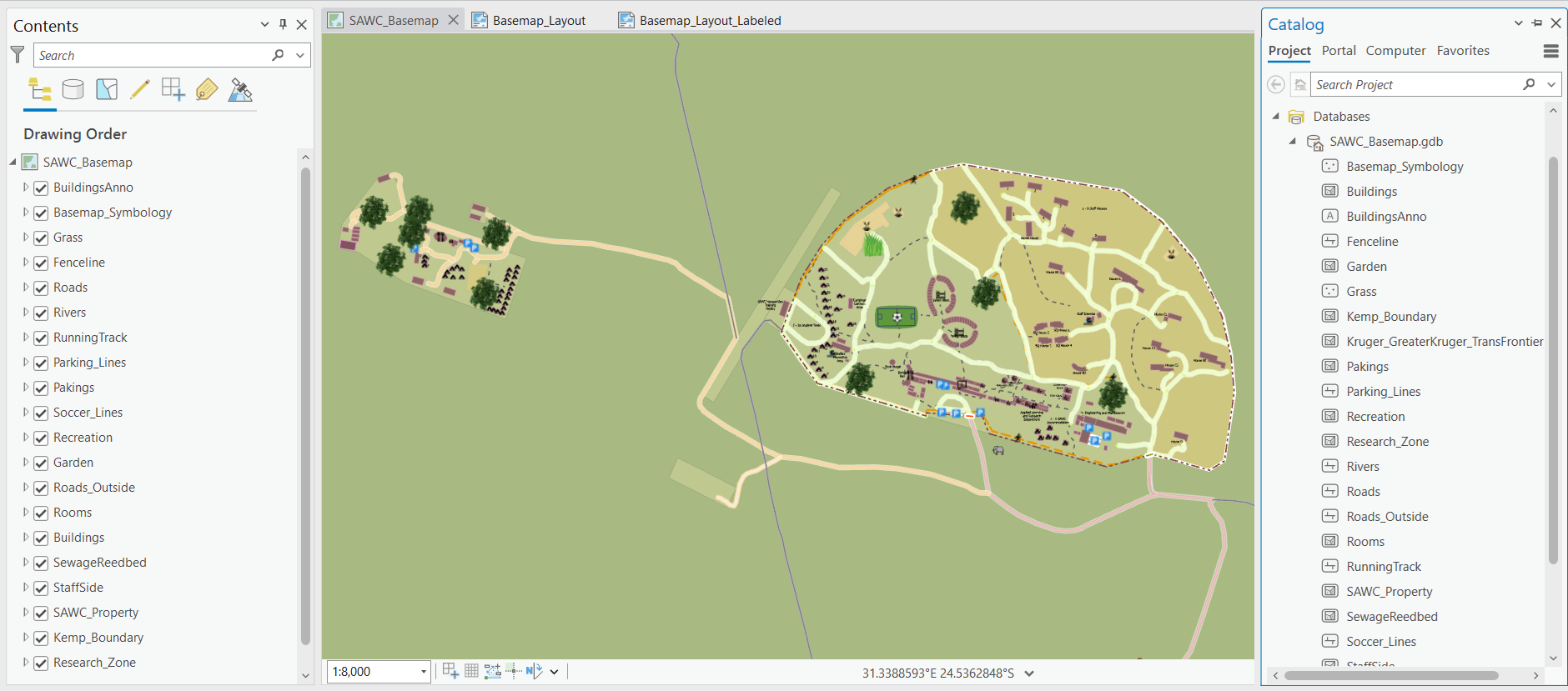
Last year’s Fleming college students created basemaps for SAWC. Using the data and file geodatabases they created, the team initiated the process by downloading the basemap from SAWC’s ArcGIS Online as a file geodatabase, which was then imported into ArcGIS Pro. In ArcGIS Pro, room names, building labels, and necessary adjustments to the symbology and color hierarchy were made. Furthermore, the team expanded the basemap's coverage to include additional features such as the campus’s Ranger Camp and K9 Units.
Following the completion of basemap edits, it was exported in multiple ways. Initially, the team exported the basemap as a Web Layer to AGOL directly from ArcGIS Pro. Within AGOL, this layer was published as a hosted feature layer, allowing for flexible download options including file geodatabase and shapefile formats.
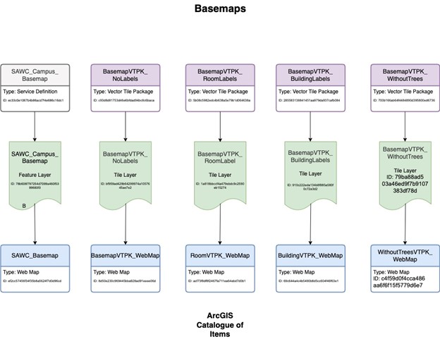
Vector Tile Packages (VTPK) were created within ArcGIS Pro, which was then exported to a local file and later imported into AGOL as a VTPK. This enabled the utilization of the VTPK as a basemap beneath operational layers.
Multiple VTPKs were developed, each to serve specific requirements: one featuring room labels, another with building labels, and a third with road names exclusively. Moreover, the team exported the symbology style of all layers as ArcGIS Pro Layer Package Fle (.lpks), along with the point symbology icons as ArcGIS Pro Layer File (.lyrx), within a local file. T his repository of styles and icons stands ready to be shared with SAWC, ensuring they possess the necessary files for future modifications or additions to the basemap
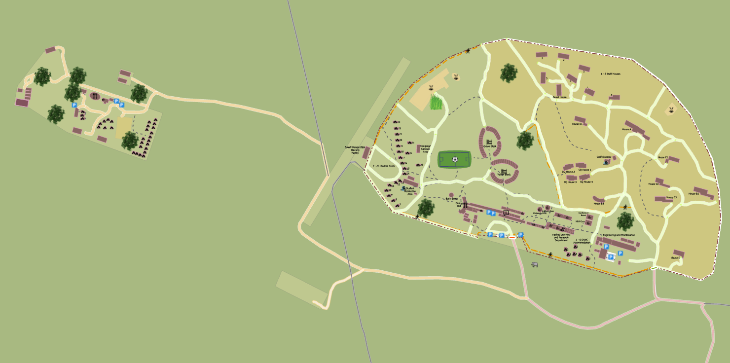
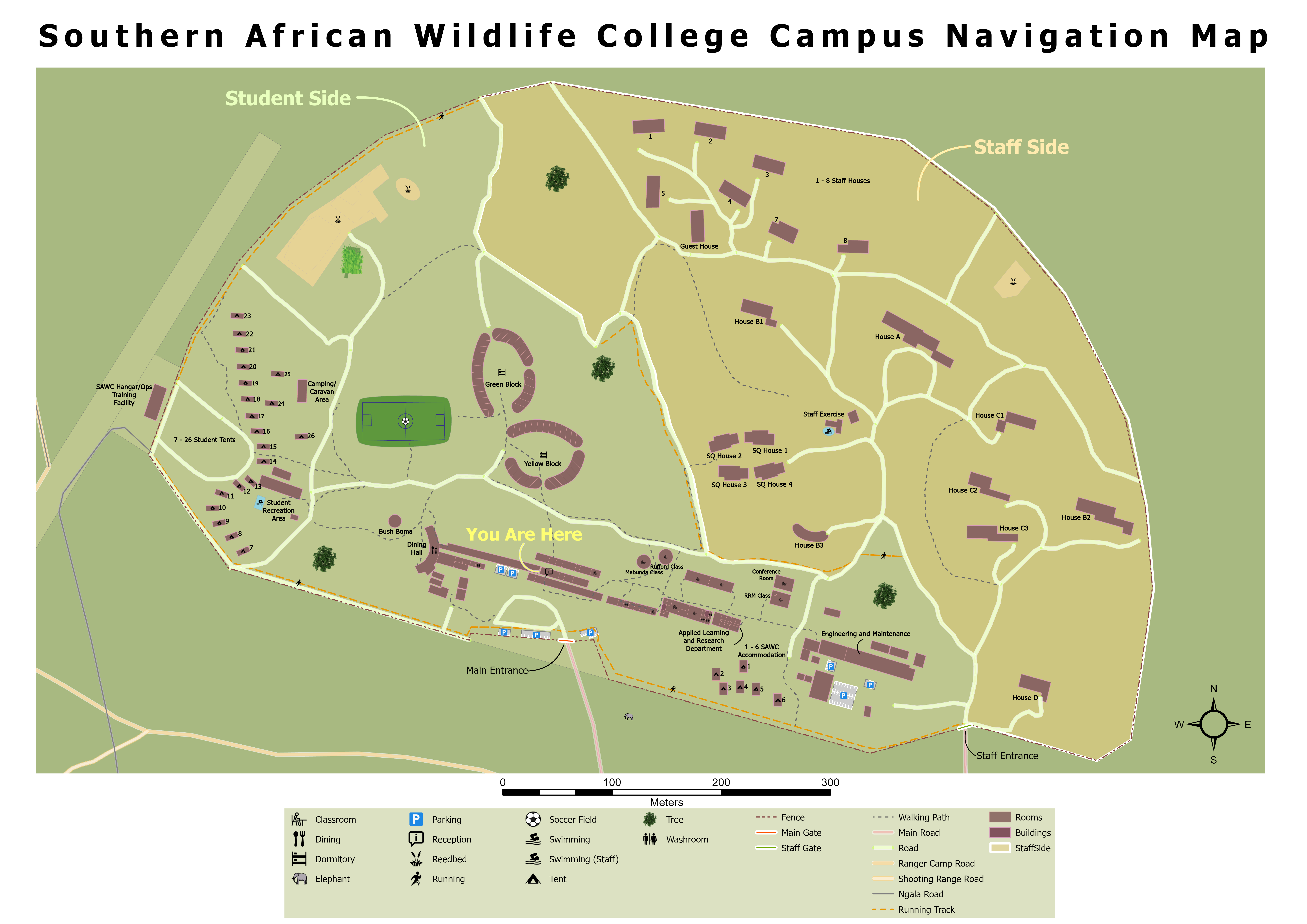
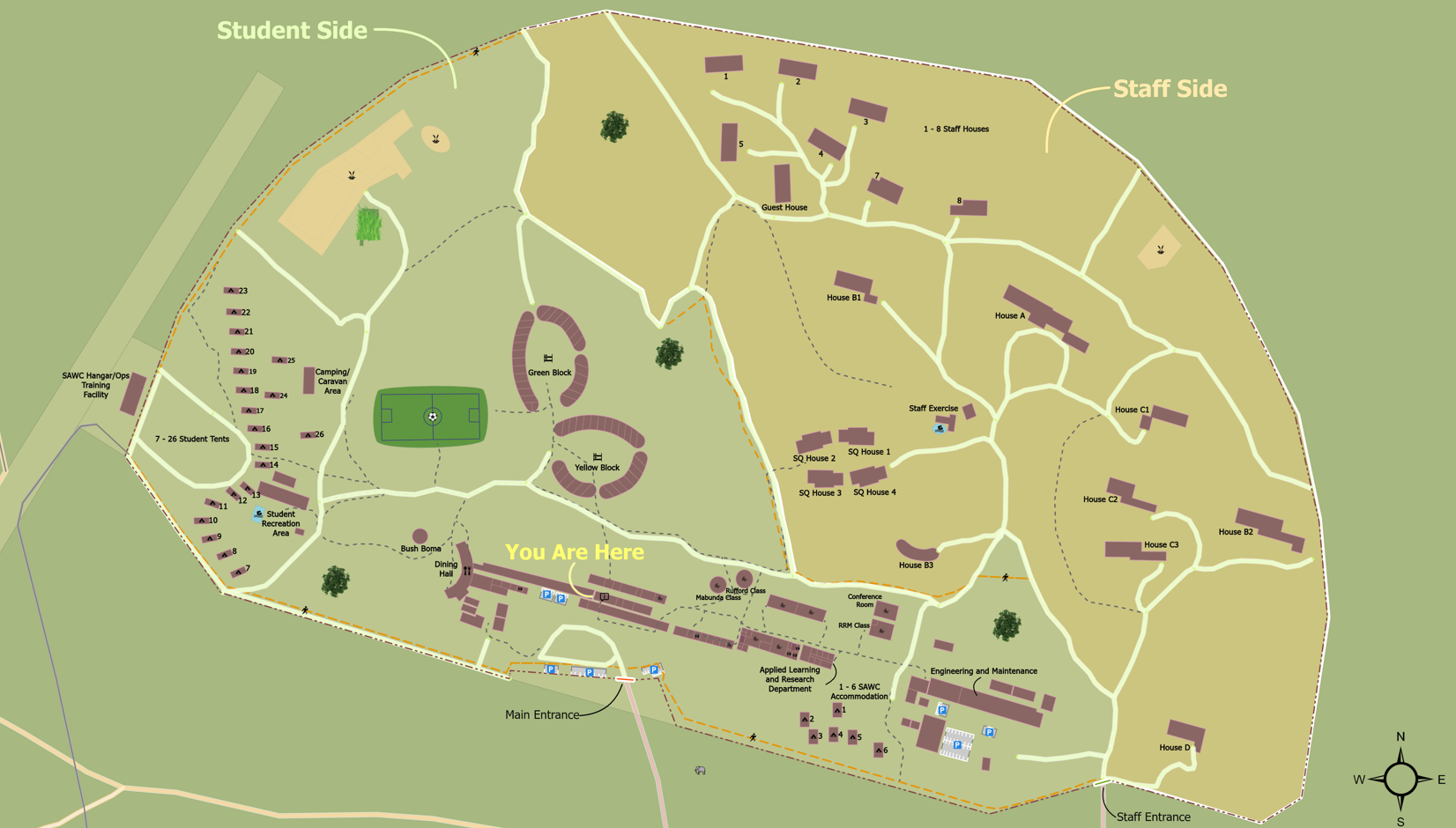
Purple Penguins decided to create new basemaps for the college to be used at the reception. During the SAWC visit, they noticed that the reception was using last year's basemap. Given the addition of new buildings and several edits to the previous version, the team decided to provide an updated basemap for the college's use. New Layouts were created, and annotations were added on the map to be easy to use. However, the team created two versions of the basemap: one with annotations and one without, allowing the SAWC staff to choose which version best suits their needs. These layouts were exported as PDFs, PNGs and as ArcGIS Layout File (.pagx). It is worth mentioning that SAWC does not hold ArcGIS Pro License anymore. Thus, Updating the VTPK is only possible using AGOL’s ‘Edit in Vector Tile Style Editor’ which only lets the user update the symbology, configure the visibility, or change the color or transparency of a layer. Once the changes are made, the map can be saved as a new Tile Layer, which can then be used as a basemap underneath operational layers. When importing the VTPK into AGOL, two file types are created: a hosted Tile Layer and the original Vector Tile Package. Edits should be made to the Tile Layer. To update the data with a new VTPK without changing its name, the Vector Tile Package should be used. This ensures that the item ID remains unchanged.